Storm Chaser Ben Holcomb
Bio
As a resident of Oklahoma, Storm Chaser Ben Holcomb is centrally located in the heart of tornado alley. Each spring I travel thousands of miles in pursuit of severe and unusual weather. While a good day of structure or big hail is exciting, nothing compares to the grand prize for storm chasers: Tornadoes. To date, I have witnessed over 200 tornadoes.
Early Life and Interest in Weather
I spent the first 25 years of my life in Lansing, Michigan where I became fascinated with severe weather. There were a number of events and tornadoes, including the famous 1991 Andover tornado outbreak and the May 3rd 1999 Moore Oklahoma F5 outbreak, that piqued my interest in violent and extreme weather. The biggest event was the May 31, 1998 Southern Great Lakes Derecho which destroyed lower Michigan the morning following the F4 tornado in Spencer, South Dakota. The derecho brought 120+ mph winds to lower Michigan and left the state a disaster. I was delivering the Sunday newspaper to my paper route that morning and experienced the wall of wind & water as it blew through Lansing that morning.
Storm Chasing Era 2007 – Present

While I ultimately pursued a full-time career in Information Technology, I have managed to intertwine my professional life with the weather industry. I’ve received no formal weather education and absorbed all meteorological knowledge from the wealth of information available for free on the internet as well as experience in the field.
On October 18, 2007, I began observing storms outside of Mid-Michigan by chasing a supercell near Fulton, Indiana. A couple months later in 2008, I would go on my first multi-state chase to Arkansas on Super Tuesday and had become involved with bringing live video streaming technology from storm chasers to the public. This merging of weather and technology (as well as a hatred of winter) lead me to move to Oklahoma in 2010. After arrival in Oklahoma, I worked for a private weather company before spending time at OU School of Meteorology as an IT Professional. While I no longer work in the weather industry, weather is still the focus of my fascination. Nothing is more inspiring to me than standing under a 10 mile tall cloud.

Contributions
I’ve worked with numerous media outlets from local TV and radio stations to national news networks and have had my tornado video shown to worldwide audiences. I was instrumental in putting together the SPC Video Lecture Series and the Tornado Forecasting Workshop while working at The University of Oklahoma. While I lived in Lansing, I was a member of RACES and ran the Skywarn program for Ingham County. Since 2009 I have been on the Spotter Network Advisory Committee to help review reports on the Spotter Network. I have travelled worldwide to assist with international weather system installations in Asia and the Middle East.
Storm Chaser Ben Holcomb Track Map
While I am storm chasing, you can use the map below to follow along. The map will display my last known GPS location as well as the local weather. It updates once per minute or when my GPS updates.
Location Services provided by ChaserLocation
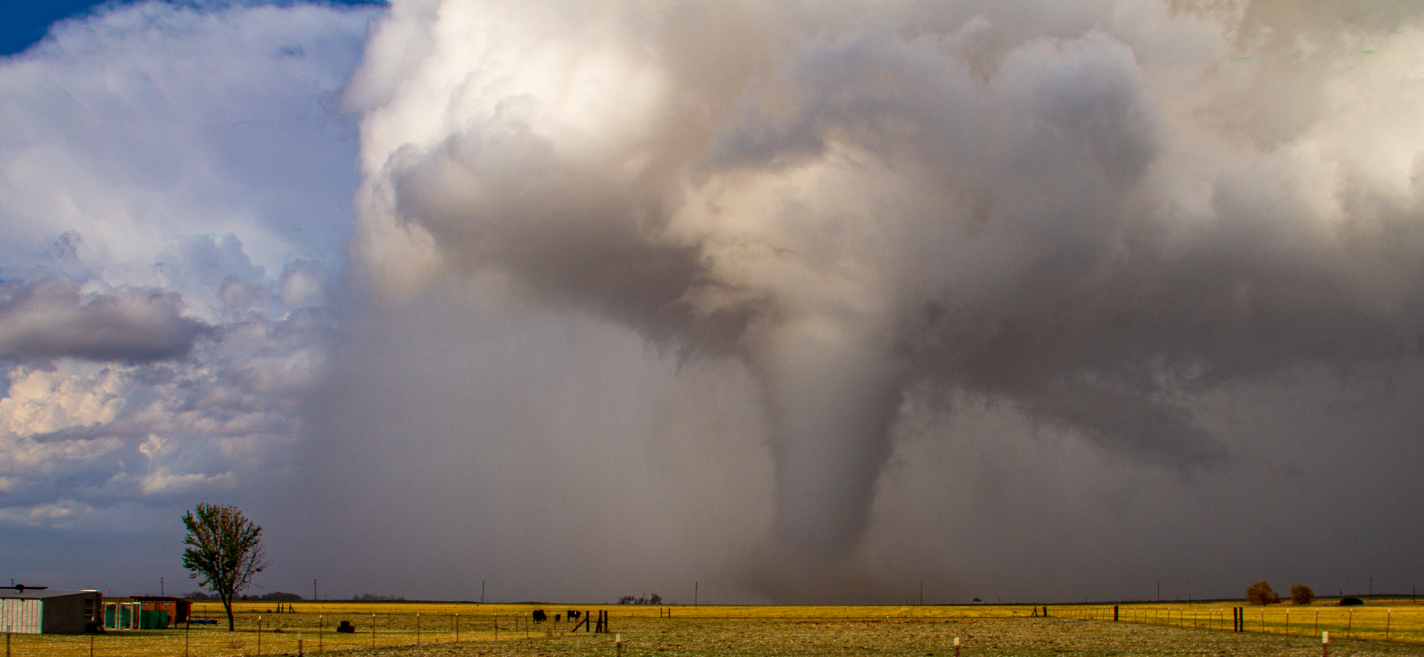
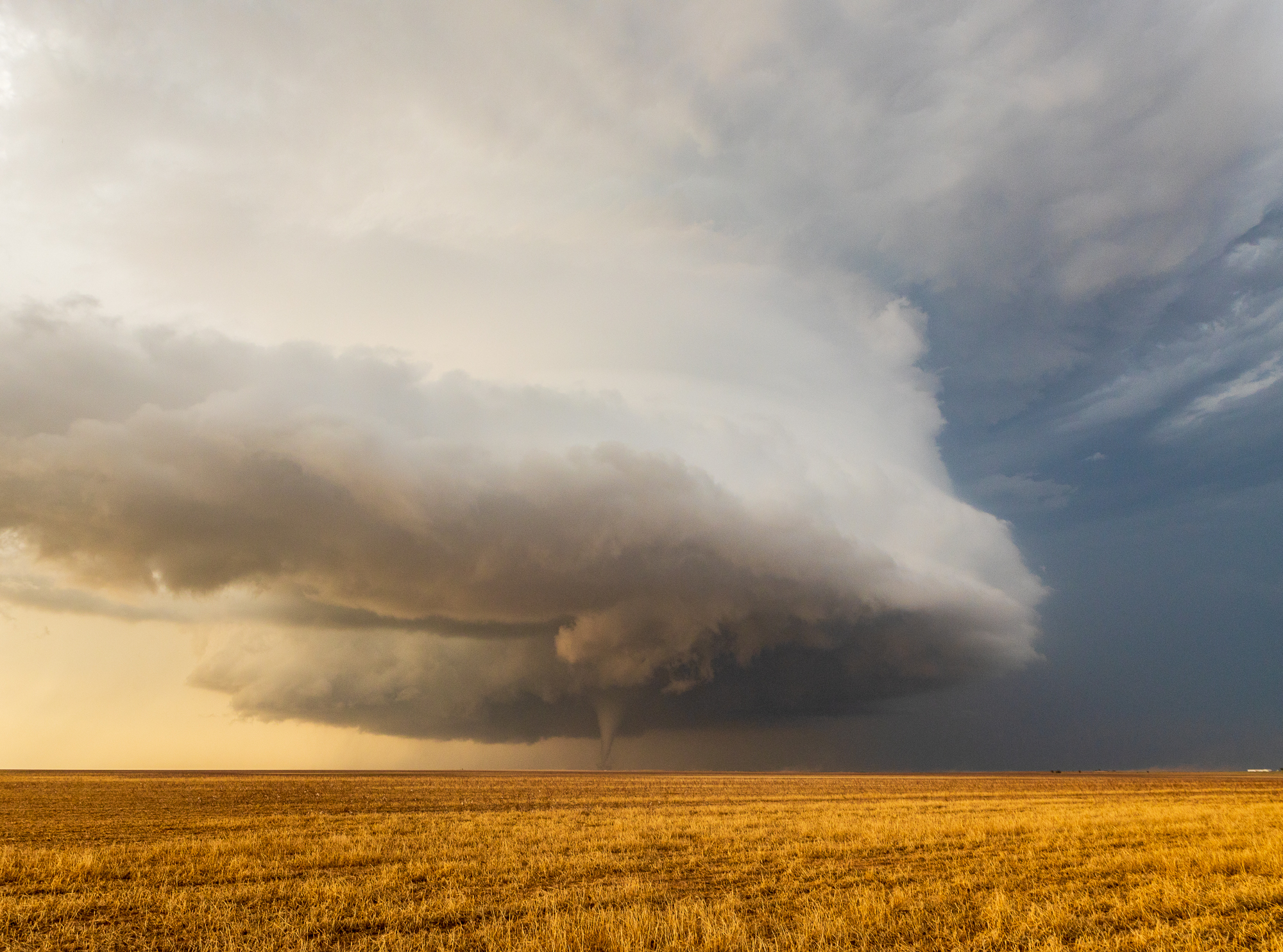
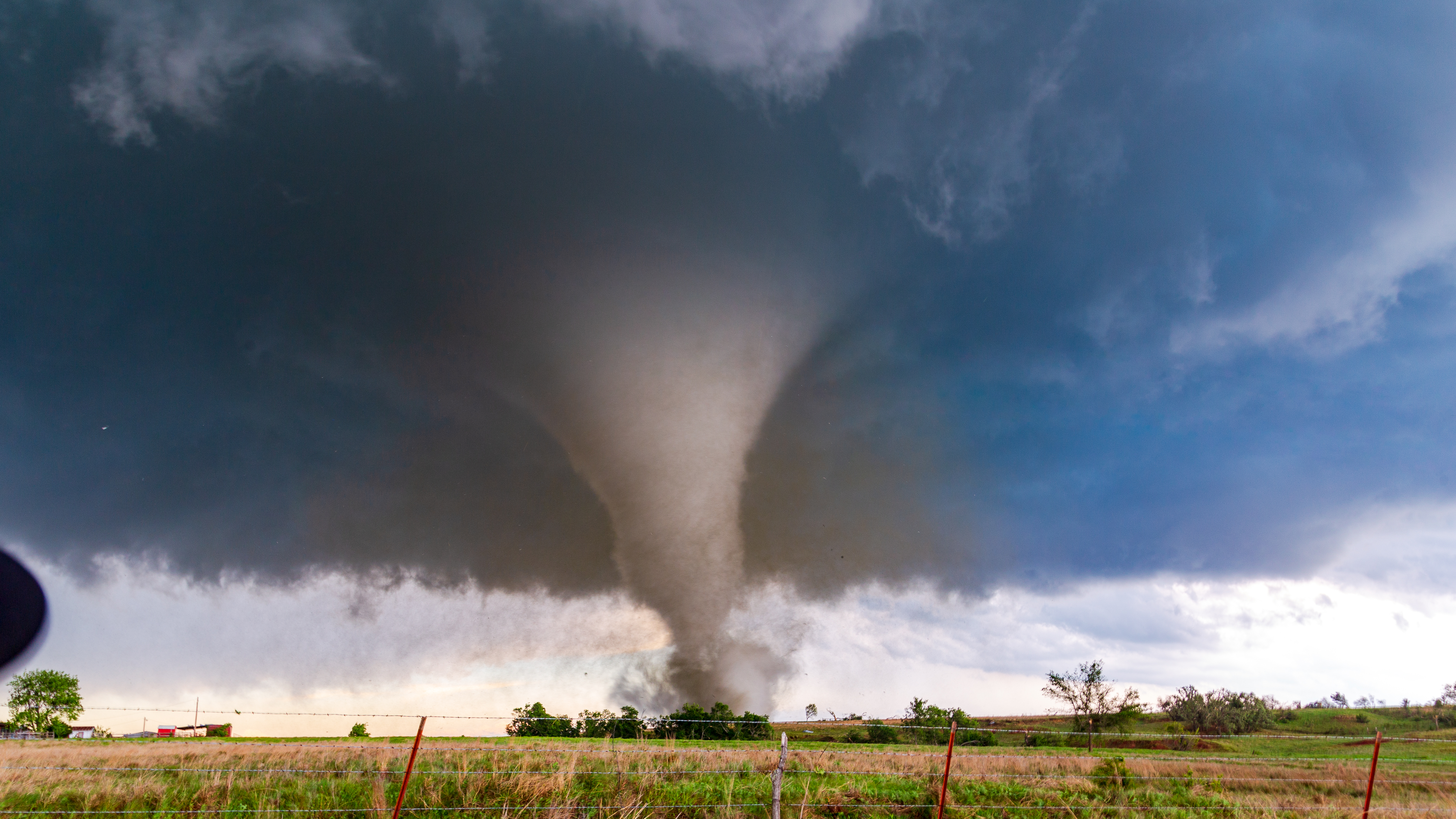
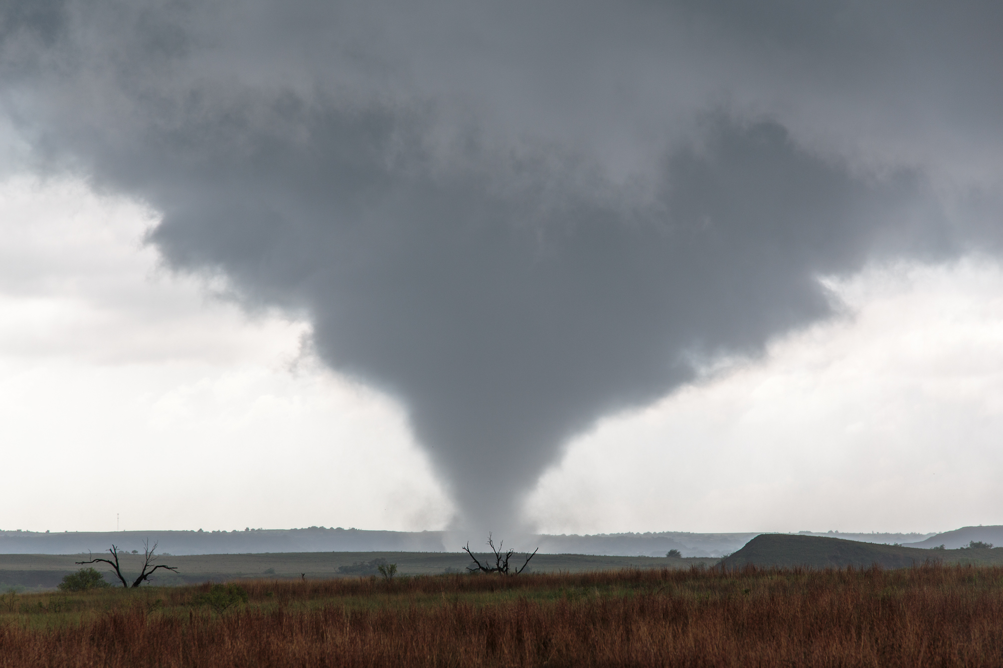
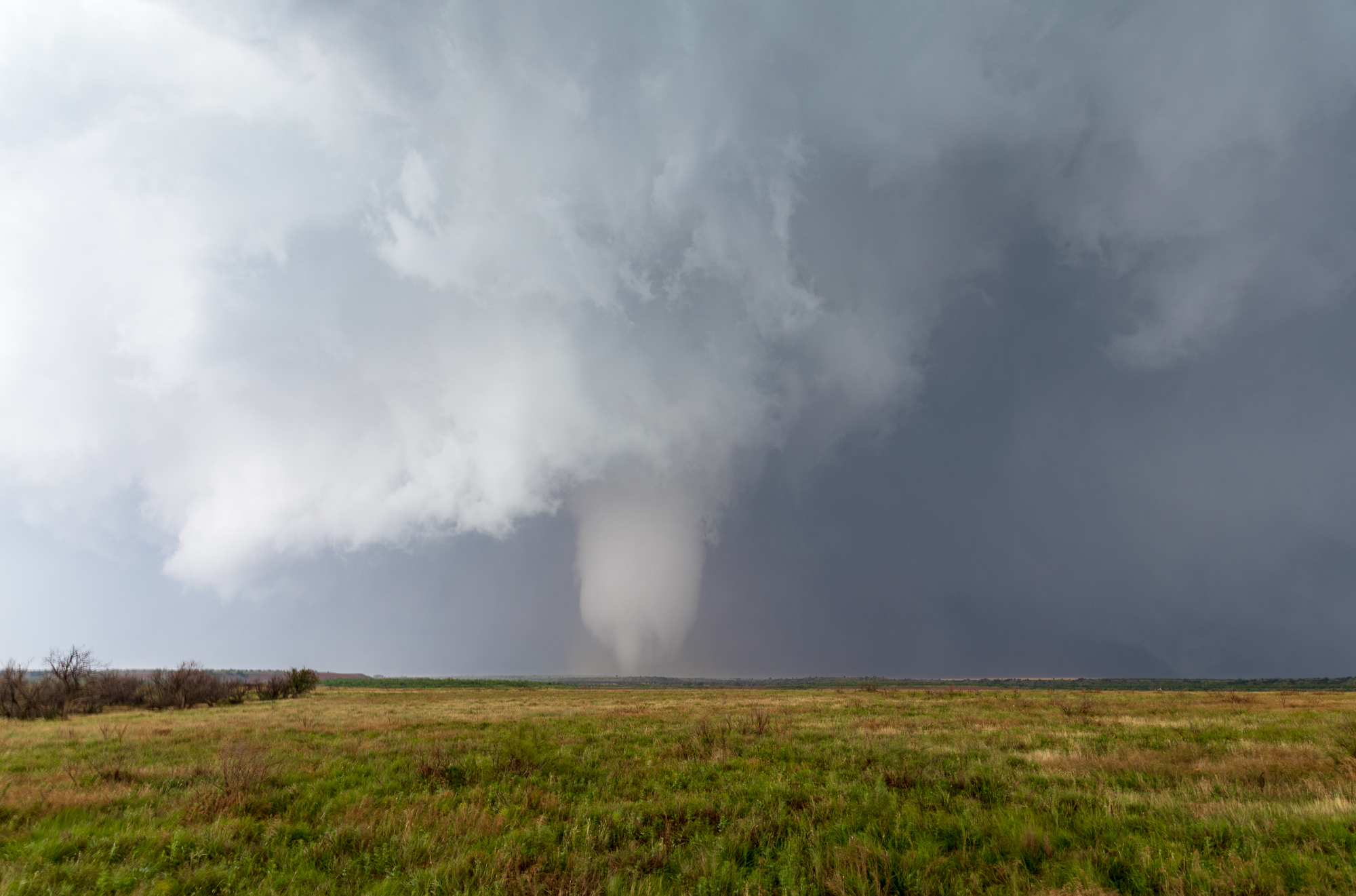
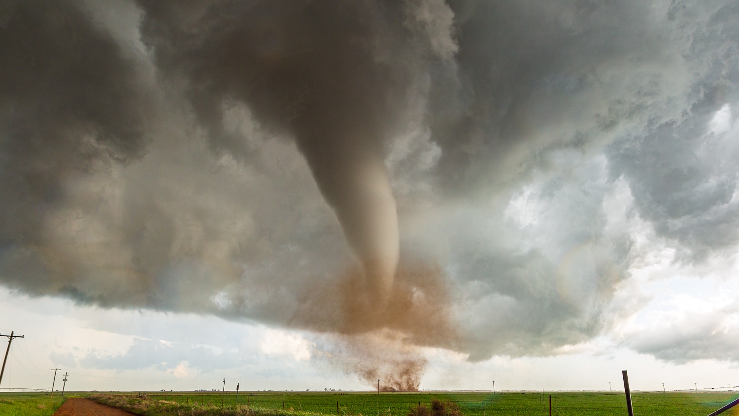
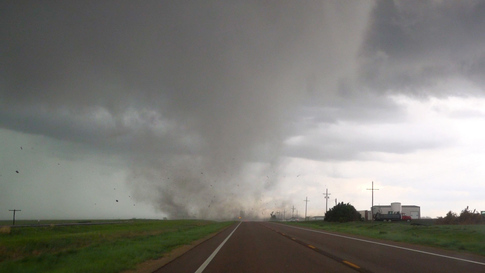
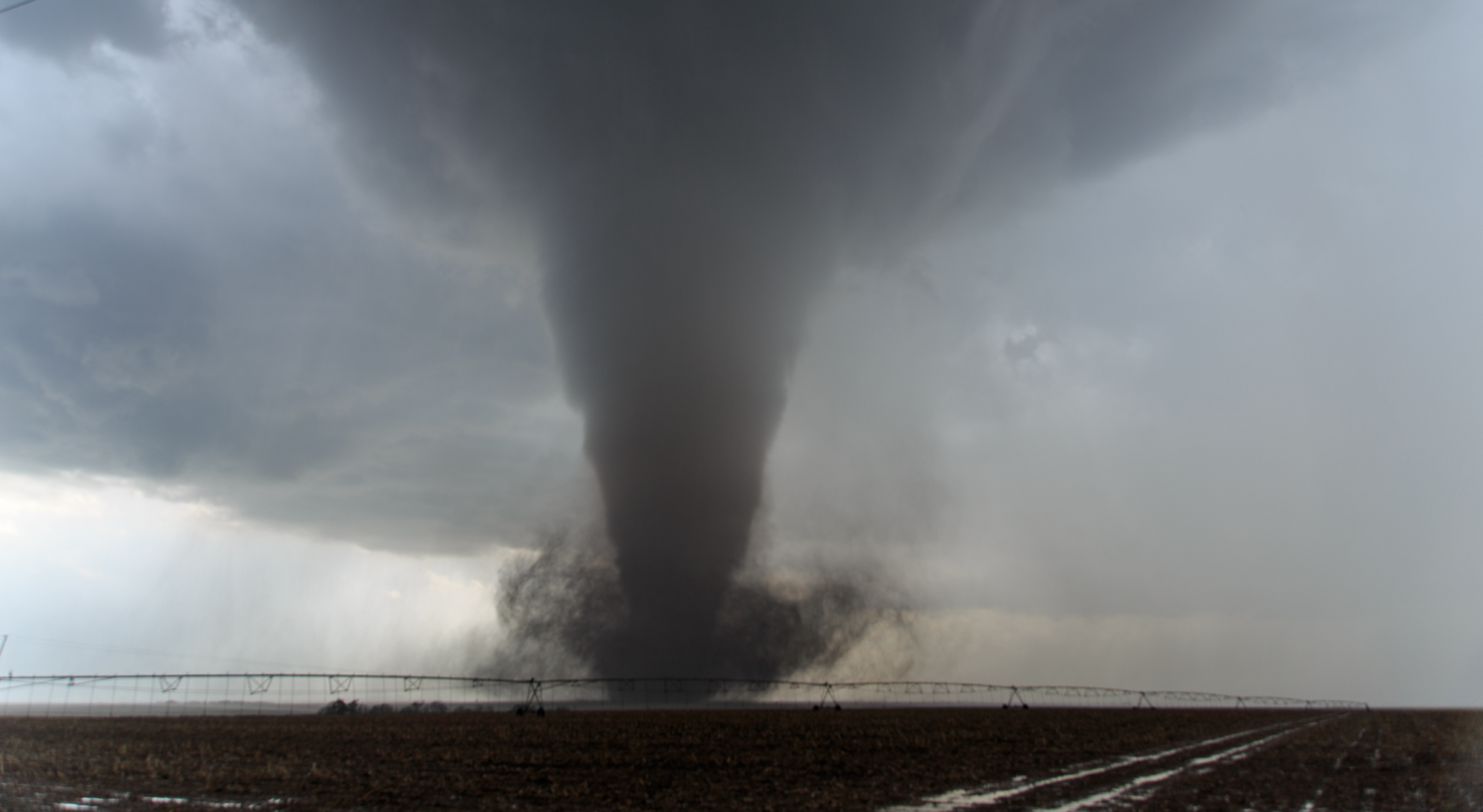
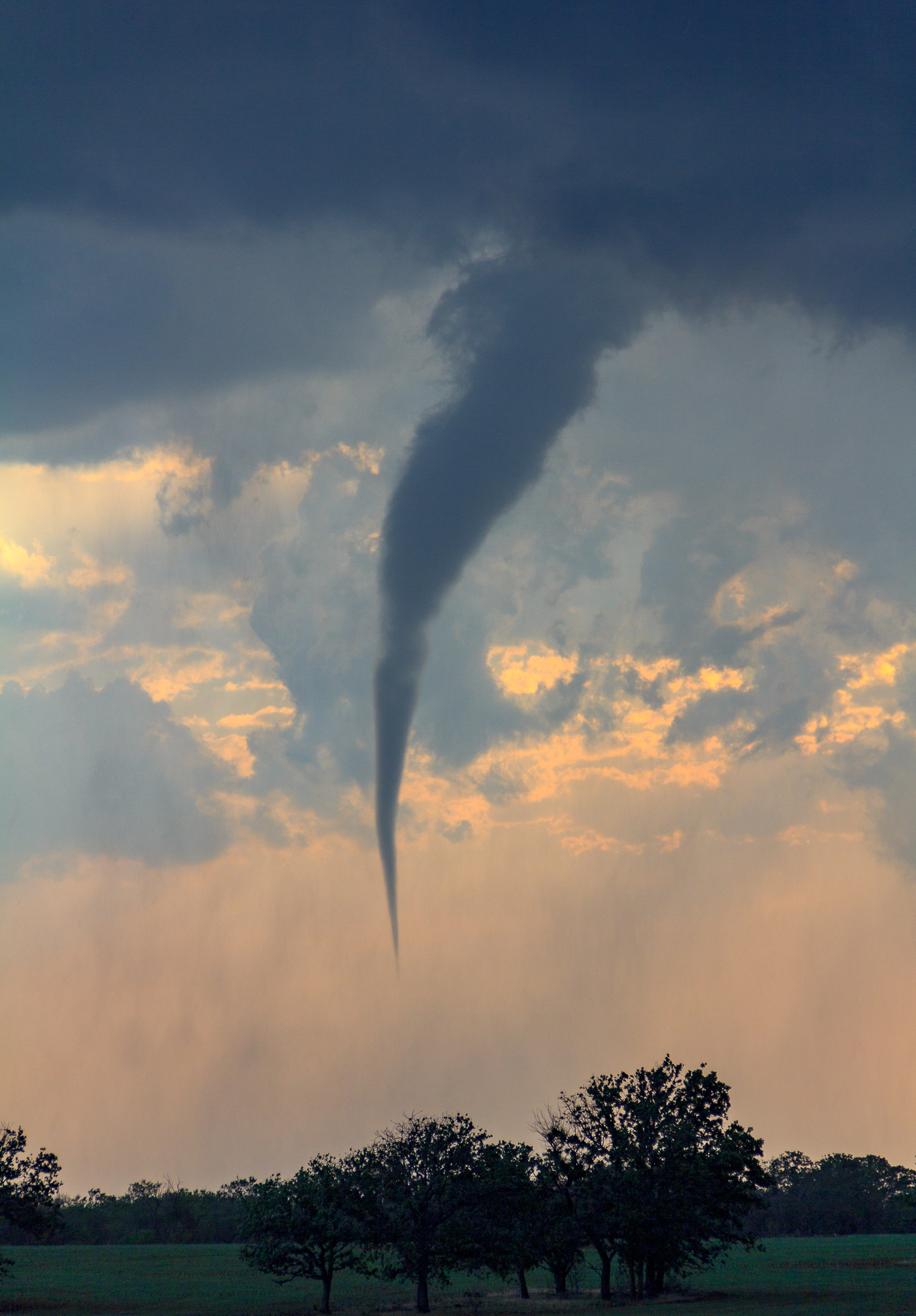
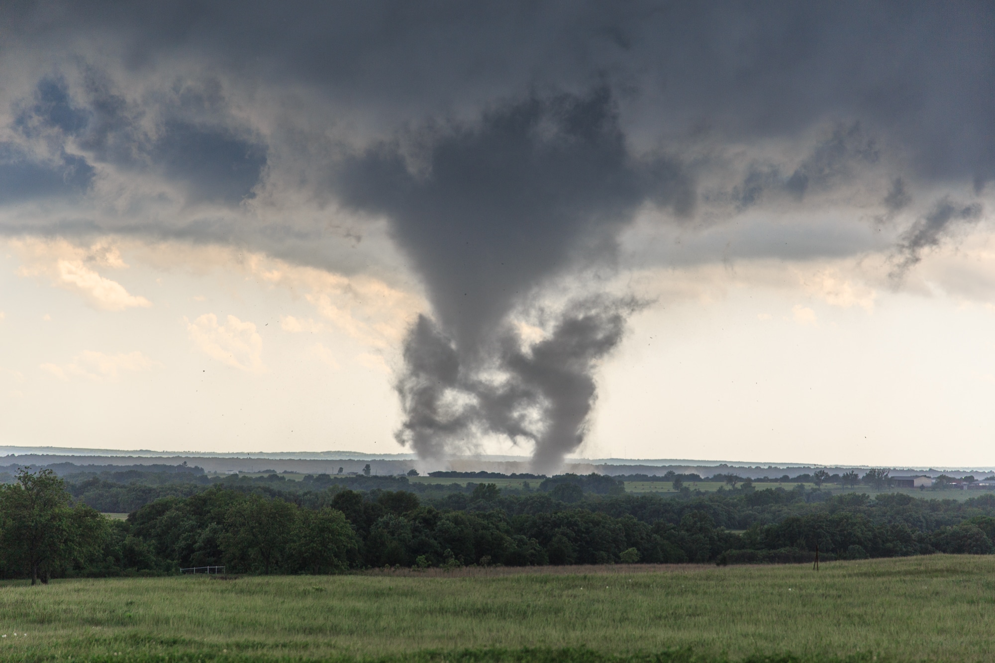
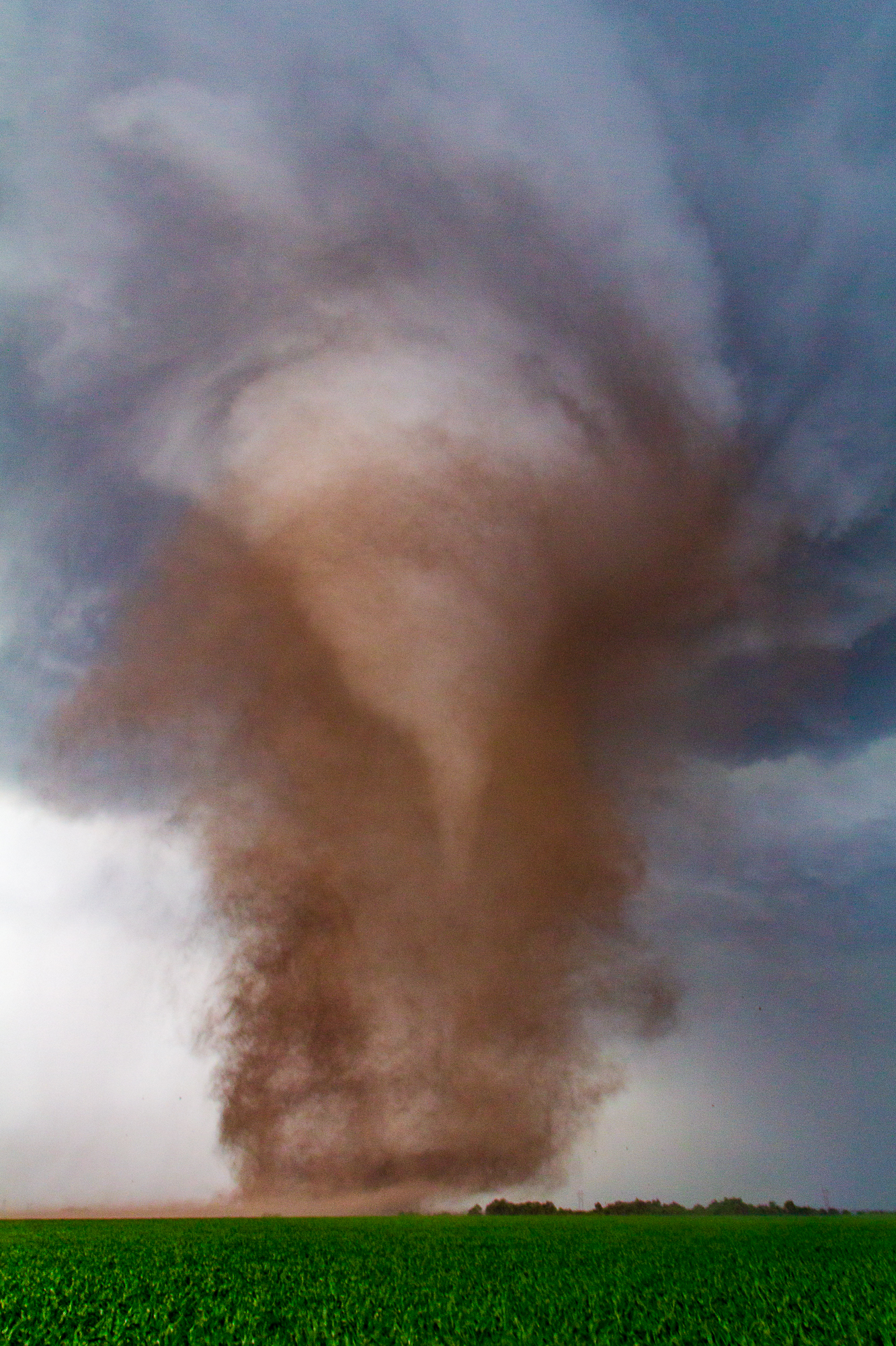
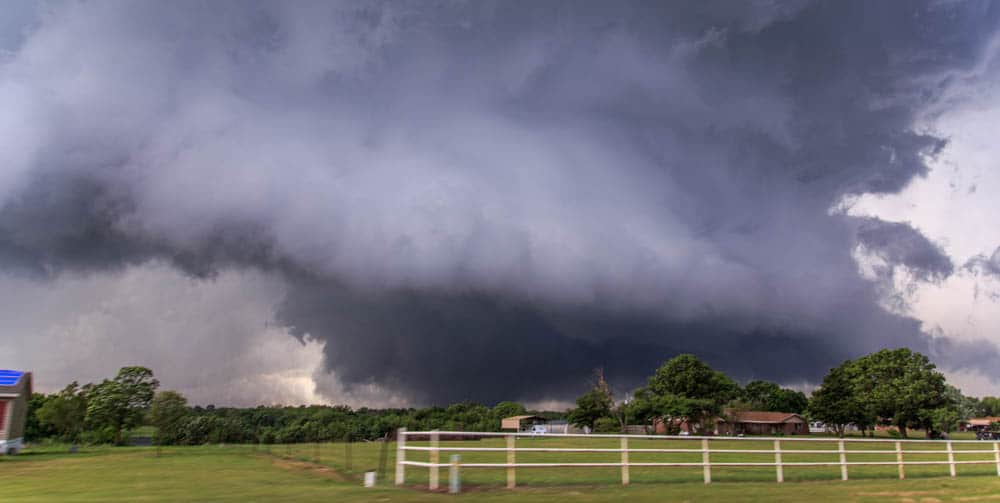
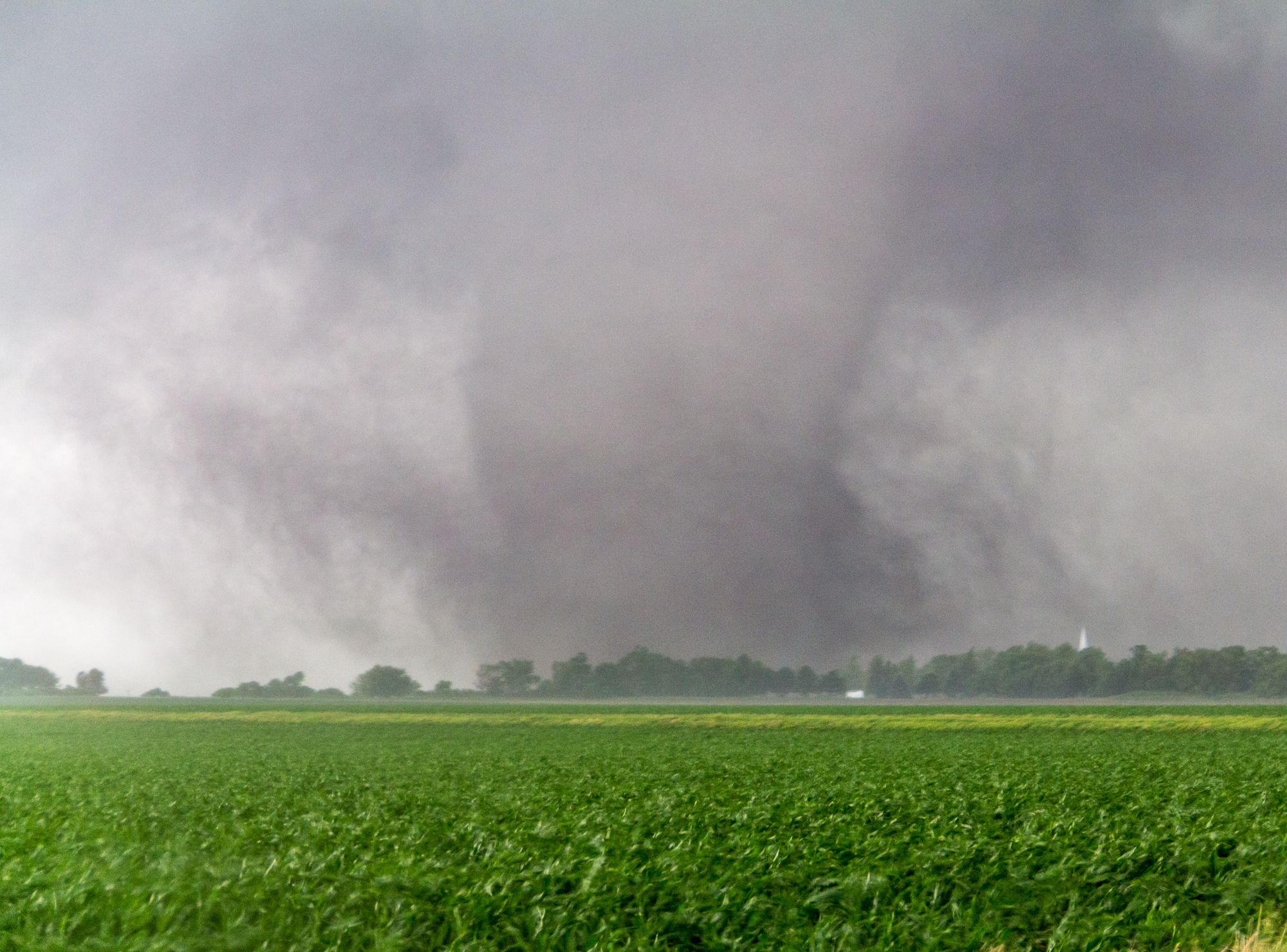
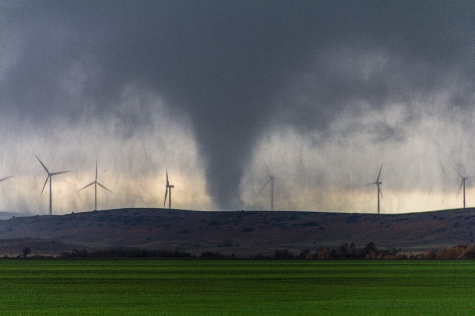
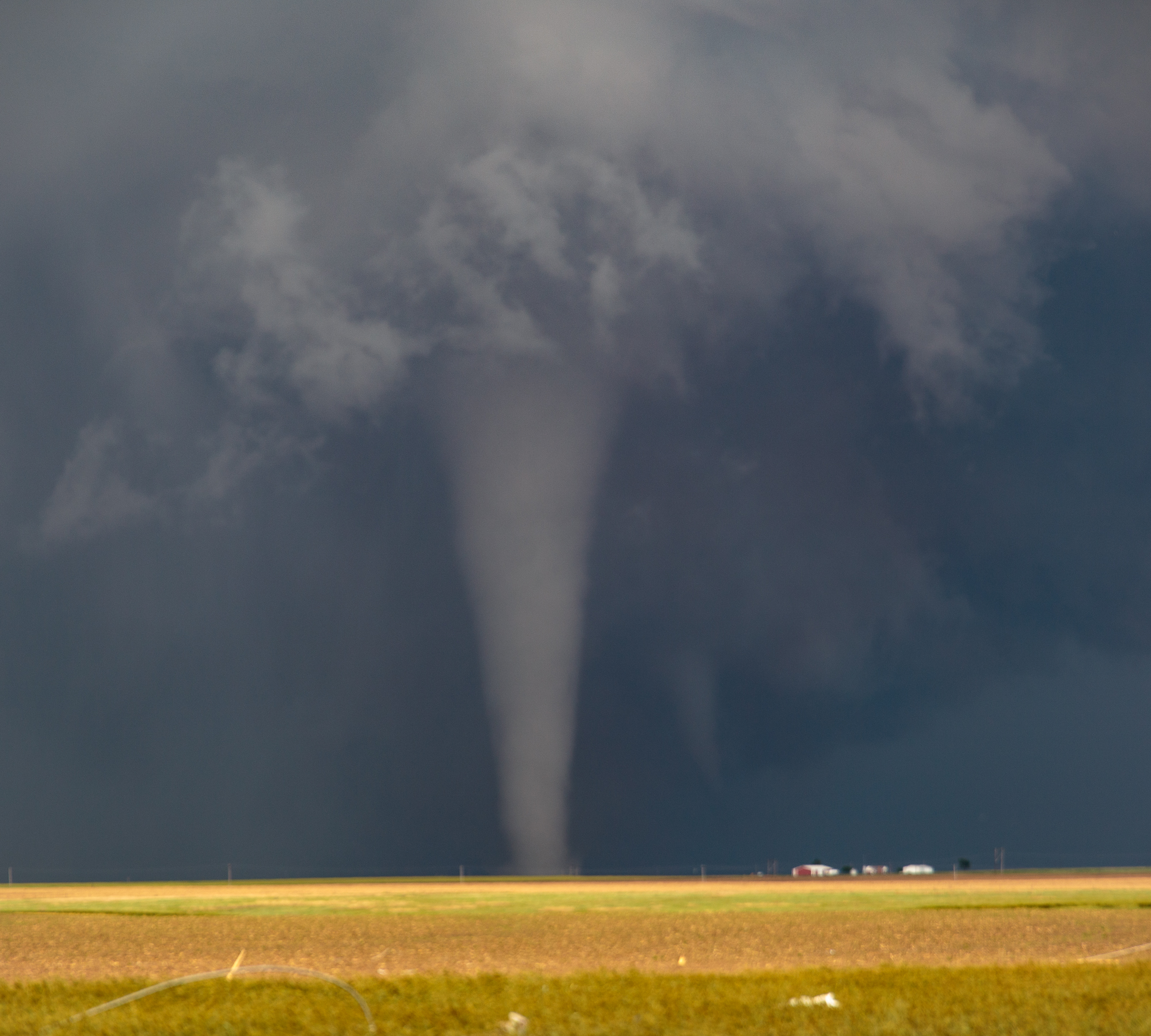
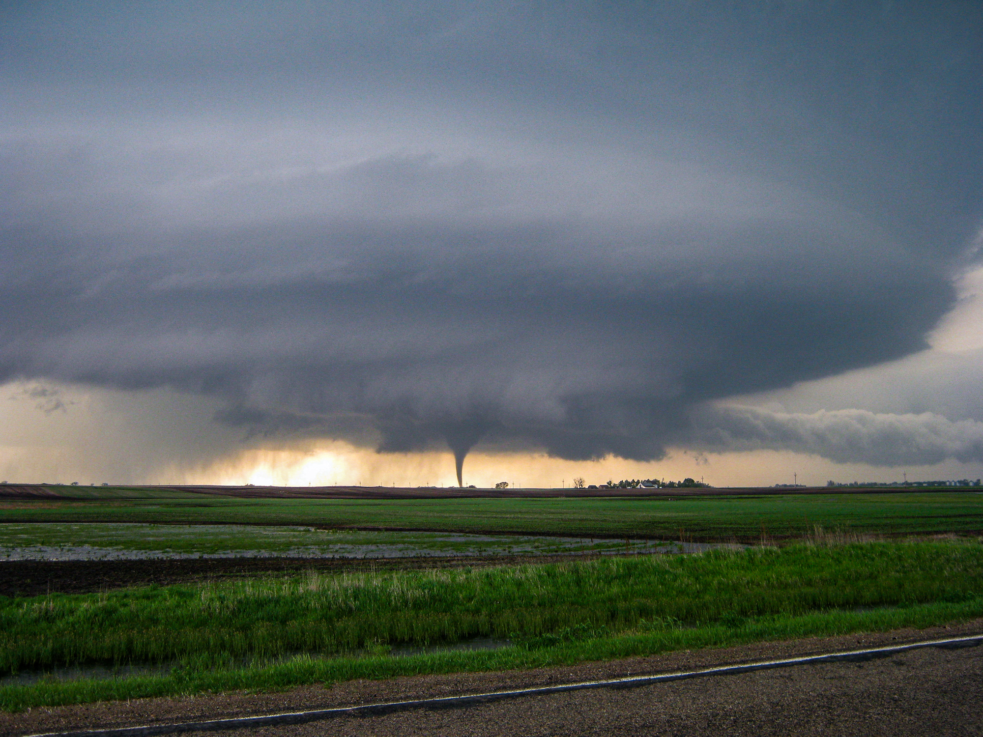
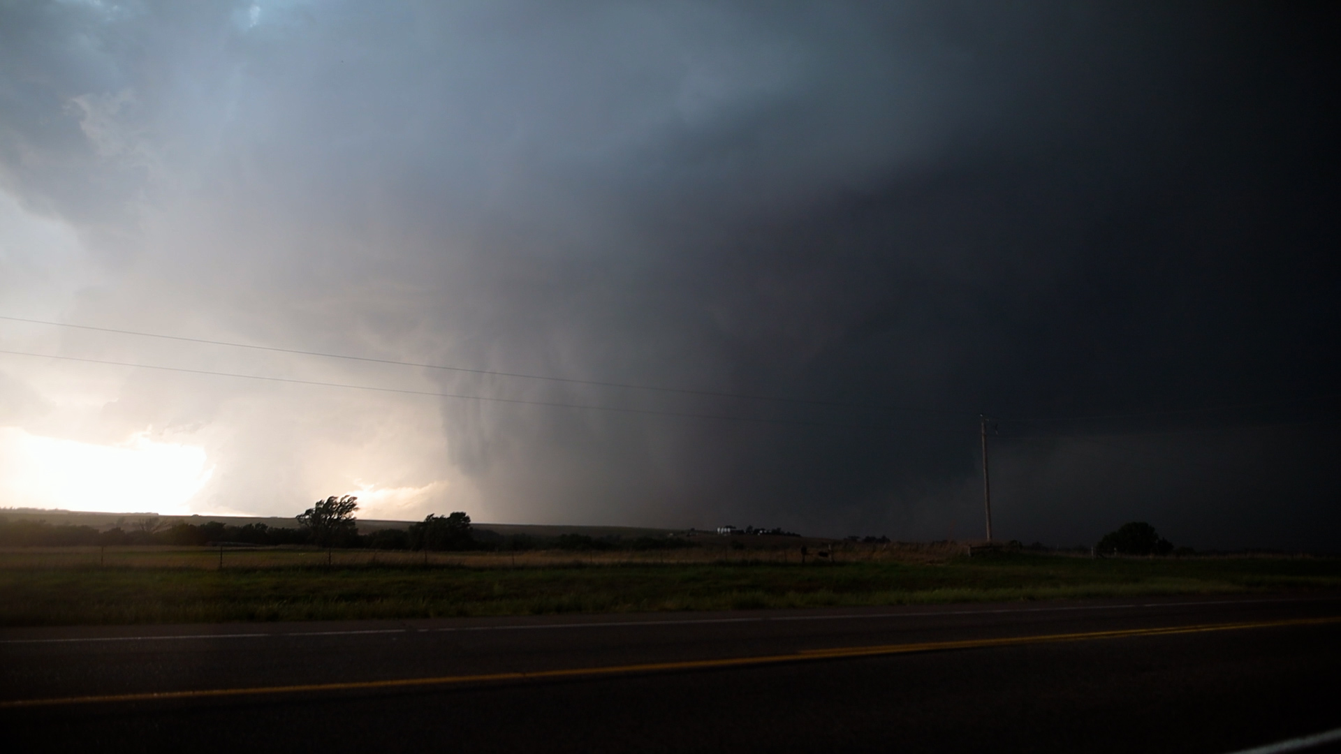
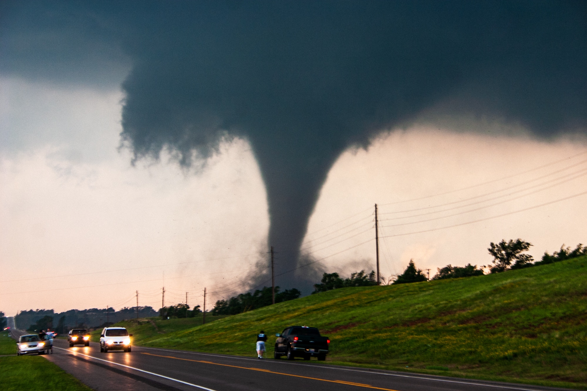
Featured Tornado Photos